
 0 likes
gAirHawk GS-100V UAV LIDAR SCANNING SYSTEM
Uav LiDAR Scanning System with 3D Spatial Data Collecting Velodnye Laser Sensor
gAirHawk GS-100V is a kind of short range, compact LiDAR point cloud data acquisition system, integrated Velodyne VLP 16 laser scanner, GNSS and IMU positioning and attitude determination system, and storage control unit, is able to real-time, dynamically, massively collect high-precision point cloud data and rich image information. It is widely used in the acquisition of 3D spatial information in surveying, electricity, forestry, agriculture, land planning.
Velodyne Laser Sensor Feature
Velodyne’s Puck lidar sensor (previously VLP-16) is the highest-value sensor on the market. The Puck™’s reliability, power efficiency, and surround view make it the ideal solution for affordable low-speed autonomy and driver assistance applications.
100 m range with compact form factor
Proven 905 nm tech, with largest install base
Top-of-the-line field-of-view
Best-in-class accuracy and calibrated intensity
Best-in-class power and temperature range
Sensor-to-sensor interference mitigation feature
Optional, enhanced short range detection
Versatile, with attractive volume pricing
Specficaiton
| gAirHawk GS-100V | ||
| Item Name | System Parameters | |
Parameters | Weight | 1.3 kg |
| Measuring accuracy | Less than 15 cm | |
| Working temperature | -20℃~+55℃ | |
| Power range | 12 V- 15 V | |
| Consumption | Average 15 W | |
| Carrier | DJI M600 PRO, Geosun L200 | |
| Storage | 64 GB storage, maximum support 128GB TF card | |
Lidar Unit
| Measuring Range | 100 m |
| Laser class | 905nm Class1 (IEC 60825-1:2014) | |
| Laser line number | Equivalent to 16-line | |
| Max. range | 100 m | |
| Mix. range | 0.5 m | |
| Range accuracy | 0.03 m | |
| data | Double echo, 320,000 point/s | |
| FOV | 360° | |
| Sensor | Velodyne VLP 16 | |
| POS Unit | Update frequency | 200 Hz |
| Heading accuracy | 0.080° | |
| Pitch accuracy | 0.025° | |
| Rolling accuracy | 0.025° | |
| Position accuracy | ≤0.05m | |
| GNSS signal type | GPSL1/L2 GLONASSL1/L2 BDS B1/B2/B3a | |
| Pre-processing software | POS software | Ouput information: position, speed, attitude |
| Point cloud software | Output point cloud data format: LAS format, custom TXT format | |
| Camera (Option) | Camera Model | a 6000 |
| Effective Pixel | 24 Mega Pixel | |
| Trigger event | Distance or Time trigger | |
| Weight (g) | Less than 300 | |
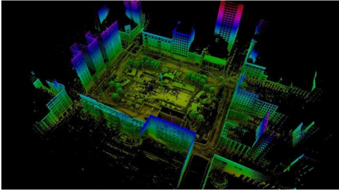
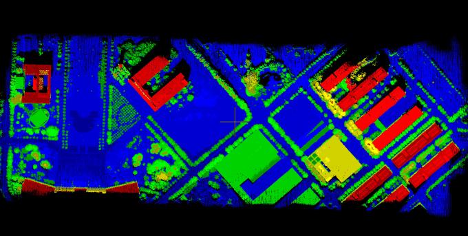
Application for City Construction
Package
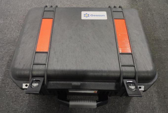
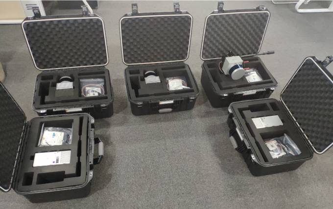
It is packed by suit case with EVA material liner inside, then covered by hard carton box. It is suitable for air shipment and sea shipment.

 Click enlarge Image